
Special weather statement in effect for:
- Chatham-Kent – Rondeau Park
- Windsor – Leamington – Essex County
March ends on a wintery note for some, and a wet one for others.
A developing low pressure system over Texas is setting its sights on Southern Ontario. It will slowly track towards the lower Great Lakes later Thursday and linger on Friday.
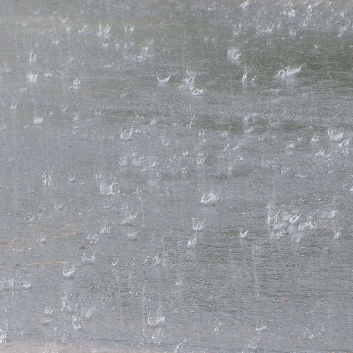
Rain is forecast to begin Thursday for much of Southwestern Ontario reaching the Golden Horseshoe later in the day possibly mixed with snow. It is expected to change to snow, and then to freezing rain Thursday night north and west of Toronto. Several millimetres of freezing rain are possible Thursday night especially over the higher terrain of the Dundalk Highlands and above the Niagara escarpment from Kitchener-Guelph north through Orangeville and Shelburne. Snow amounts of 5 to perhaps 10 centimetres are also possible from Southern Georgian Bay and eastwards to the north of Lake Ontario by Friday. Those in the Greater Toronto Area in closer proximity to Lake Ontario, as well as most of Southwestern Ontario, should receive mostly rain.
Most areas should change to rain by Friday, with some significant rainfall totals of 25 to 40 mm possible before it begins to taper off Friday night.
Travel may become hazardous in areas which receive freezing rain or snowfall Thursday night. Warnings will likely be required.
Please continue to monitor alerts and forecasts issued by Environment Canada. To report severe weather, send an email to ec.cpio-tempetes-ospc-storms.ec@canada.ca or tweet reports using #ONStorm.