By Pam Wright
Local Journalism Initiative Reporter
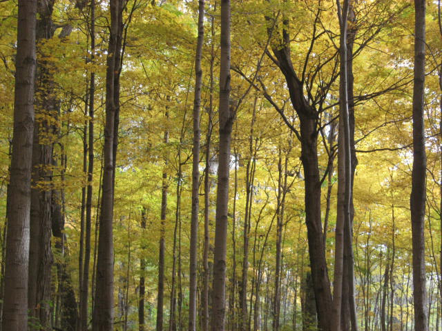
The data is in and according to a painstaking aerial analysis; Chatham-Kent has lost about 400 acres of mature tree cover in the last five years.
The number is but one of dozens to be presented by the Lower Thames Valley Conservation Authority Monday to Chatham-Kent’s Committee of the Whole, designed to update the municipality’s Natural Heritage Strategy.
The committee came into play earlier this year when a temporary tree-cutting bylaw was put forward by Wallaceburg Coun. Aaron Hall.
Designed to examine all angles of the forest cover issue, Hall was elected to chair the committee, with South Kent. Coun. Trevor Thompson serving as vice-chair.
The subject of clear cutting and deforestation has put environmentalists at odds with the some members of Chatham-Kent’s powerful agricultural community.
Farmers and landowners claim they should be able to do whatever they want with the land, while environmental supporters say mature forest must be protected for the greater good by preserving the health of the planet.
Other facts released in the report:
- Measured in hectares, the size of the landmass surveyed in Chatham-Kent is 246,045 hectares, equal to about 608,000 acres.
- All woodlots over 0.5 hectares (1.2 acres) were included.
- The snapshot-in-time analysis does not include forest cover removed after March 2020.
- Lands belonging to the Delaware First Nation are not included in every analysis.
- Chatham-Kent had 4.28 per cent forest cover in 2010; 4.0 per cent in 2015 and 3.94 per cent in 2020.
- Administration is recommending council extend the temporary bylaw to April 2022.


A correction on this article.
According to the mapping report the amount of Municipal forest cover decreased from 3.87% in 2010 to 3.54% in 2020, a loss of over 2,000 acres.
First Nations Reserves and Provincial Parks are not part of the municipality of Chatham Kent, and including them in Chatham Kent’s Forest cover serves to confuse the issue.