
Water on the Thames River near Pump Road, where it was threatening to overflow the bridge on Riverview Line Friday, was down an estimated four-and-a-half feet Monday from the high water point.
The bridge spans a municipal train as it flows into the Thames.
Water levels dropped two feet in a 24-hour period from Sunday to Monday, according to municipal officials.
Dike conditions continue to improve due to the drop in the water level. Dikes on the north side of the river are stable.
Two small areas of seepage are occurring on the south side near St. Peter’s Church but have slowed with the dropping water level. Pump Road will remain closed due to ice conditions on road.
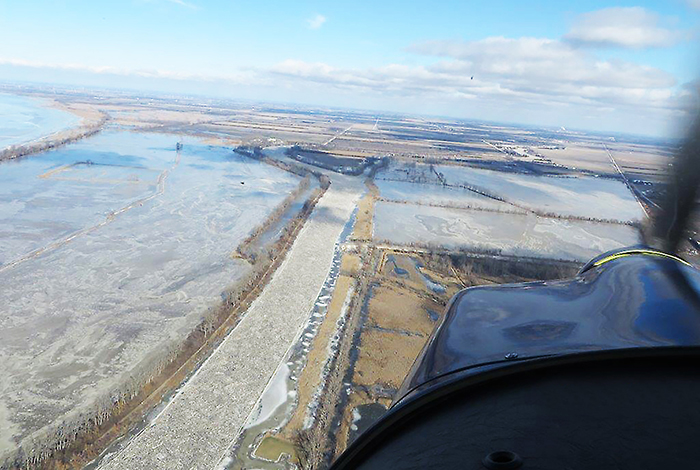
The mouth of the river at Lighthouse Cove is free of ice. Open water is beginning to appear at the far east side of the ice jam near Prairie Siding Bridge. However, the ice jam remains stationary extending 200 meters east of the mouth of the river through to Prairie Siding Bridge.
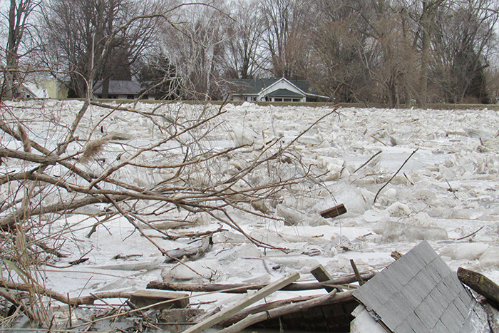
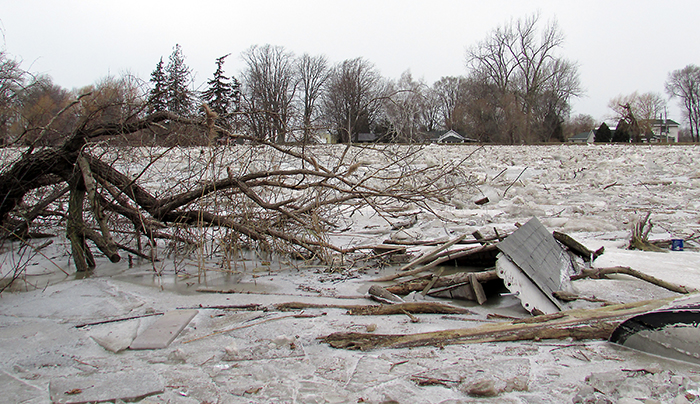
Railway officials are assessing the conditions of railway bed in the Jeannette’s Creek area as there are several large areas of seepage occurring adjacent to the flooded farmland.
The Lower Thames Valley Conservation Authority is monitoring the forecast to determine the potential impact of the forecasted rain will have on the situation early tomorrow morning.
The public is being asked to avoid roads in the area. Emergency officials remain on standby. The localized state of emergency enacted Friday will remain in place until the situation has stabilized.
The view from the end of Poppe Road on Friday morning. 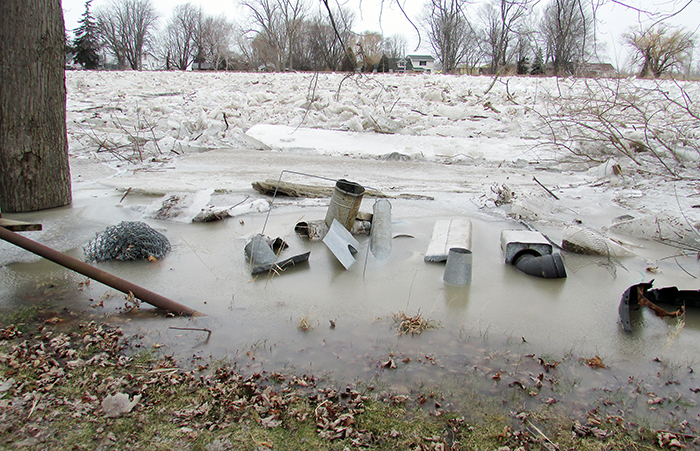
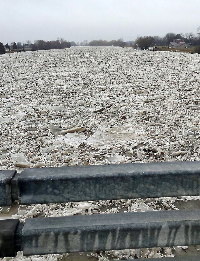
Ice jams the Thames River at the Prairie Siding Bridge on Thursday. The jam is causing water to back up along the river into Chatham.

